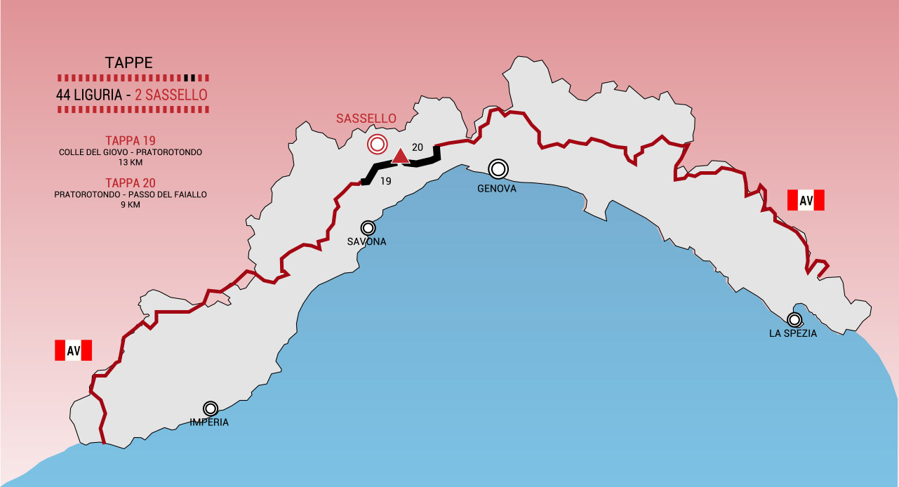

The Alta Via of the Ligurian Mountains (AVML or more simply Alta Via) is a hiking route of about 440 km that develops along the watershed bordering the Ligurian coastal side.
The Alta Via was officially founded in 1983 by a joint project of the Centro Studi Unioncamere Liguri, the Club Alpino Italiano and the Italian Hiking Federation. The Alta Via is protected by the Regional Law of 25 January 1993, n. 5 that has entrusted the management to a specially created association of the same name. An itinerary that anticipated the Alta Via had already been reported by F.I.E. (Federazione Italiana Escursionismo) between the Giovo hill (SV) and the Cento Croci hill (SP) in the early post-war years on a route almost entirely coinciding with the current Alta Via.
The route is divided into 44 stages of different length and difficulty and is marked with a red-white-red trail sign with the word AV in the white part. The western terminal is located in Ventimiglia, while the eastern terminal is located in Ceparana, in the Bolano plain, on the border with Tuscany.
The Alta Via can be covered entirely on foot and for long stretches on horseback and mountain biking. Some of the stages or parts of them are passable in cars and motorcycles on asphalt or gravel road.


